How to Play
When you go to the Weed or No Weed page, you will be presented with a satellite view of a Humboldt County parcel. The surrounding land has been whited out.
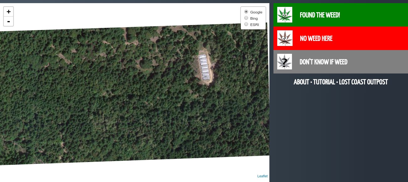
Your job is to carefully search the parcel you are given and answer the question: Is there a grow here?
You can zoom in and pan around to search, but you can't zoom out or pan too far beyond the bounds of the property. Again: The goal is not to discover where this is, but whether or not it has weed.
Use the layer control in the upper right to switch between satellite imagery providers. Google Maps is the default, because it generally has the best imagery, but the others may have pictures taken at different times of the year, and so can provide additional perspective.
So what is it? Weed or No Weed?