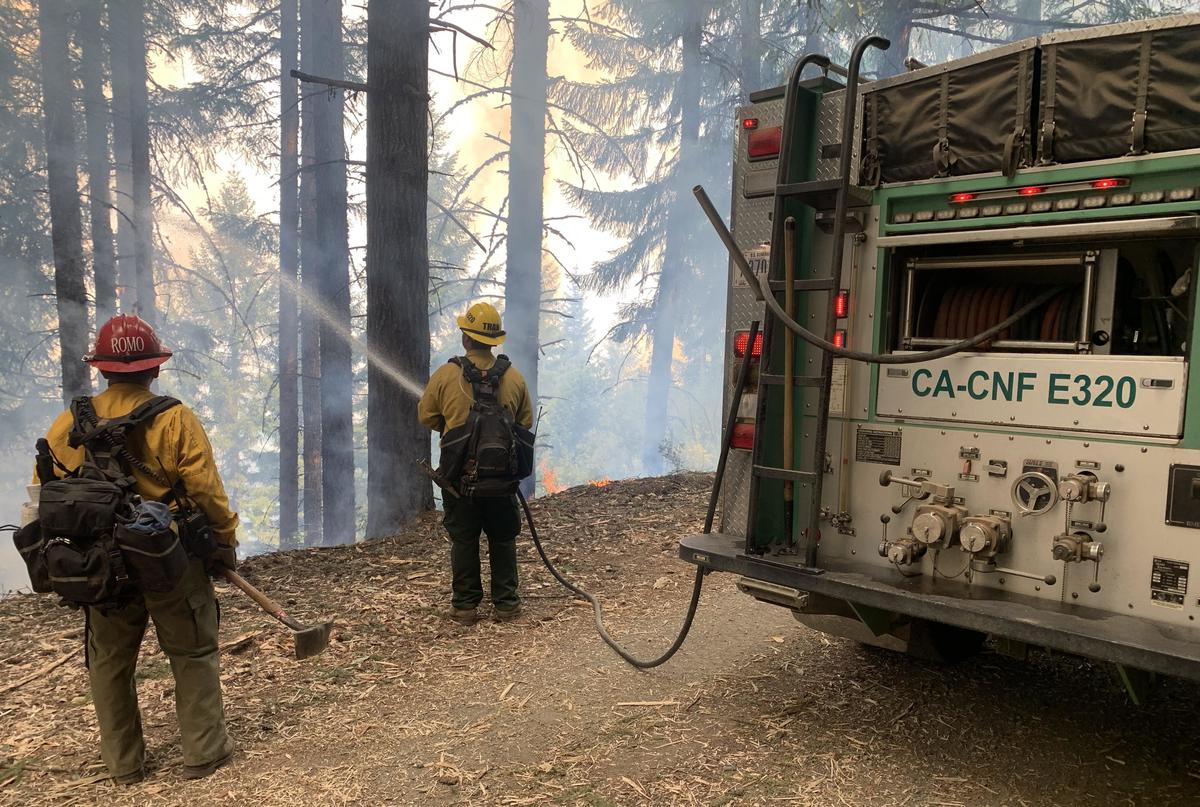
Cleveland National Forest and Tallac Hotshots, Lake Tahoe Basin Management Unit, USFS. Lighting and holding of Lone Pine Ridge. Photo/caption: CAIIMT14.
###
Press release from the unified command of the Six Rivers Lightning Complex:
Today, California Incident Management Team 15 assumed command of the SRF Lightning Complex. CAIIMT 15 will join the unified command with California Highway Patrol, Trinity County Sheriff, and Humboldt County Sheriff. The Six Rivers Lightning Complex is currently 39,721 acres with 64% containment and 1,573 personnel assigned to the incident.
CURRENT SITUATION
The Campbell and Ammon fires are the last two uncontained fires after a lighting event occurred in the early morning hours of August 5th . Over the last month, crews have worked hard to implement a full suppression strategy through the mixture of direct line construction, and tactical operations where the steep rugged terrain made direct actions impossible.
Fire resources will continue the current strategy and focus on holding and securing the control lines on the north side of the Campbell fire on either side of Cedar Creek. If successful, controlling this flank will ensure the fire remains off Hoopa Reservation jurisdiction. The crews will also focus on securing the fire along the system of roads being used to contain the southeast portion of the Campbell fire above the community of Trinity Village, minimizing the potential impacts to the area’s infrastructure. Minimal fire activity is expected on the Ammon fire.
Wildland firefighters continue to contain spot fires across the control lines during the persistent warm and dry conditions. This weather trend will continue into the weekend as a ridge of high pressure intensifies across the state.
The morning inversion will again move smoke into communities West of the Campbell Fire. This smoke is expected to lift late afternoon and overnight. For more information on air quality conditions please check out this link. .
ROAD CLOSURES
Due to a large presence of fire personnel and machinery working to build containment lines for the Ammon Fire, residents are asked to limit travel on Titlow Hill Road/Route 1 in zones HUM-E052 and HUM-E062 to essential traffic only. Residents may still use roads to travel out of evacuation order zones:
The following roads into evacuation zones have been closed.
- Forest Route 7n15 at Six Rivers Forest Boundary
The following roads are restricted to local traffic only:
- Horse Linto Creek Road at Saddle Lane (Open to residents only)
- 6N06 Sandy Bar (Route 6)
- Titlow Hill Road (Route 1) at Horse Mountain Botanical Area
State Route 299 remains open to through traffic. Residents are encouraged to visit the Caltrans Quickmap to check for state highway closures.
FOREST CLOSURES
Forest order NO. 22-10-06 Six Rivers Lightning Complex is currently in place, which includes river access at Kimtu Park.
To view this closure and map, please visit this link.
EVACUATION UPDATES
For the latest evacuation information go to Humboldt County Office of Emergency Services or Trinity County Office of Emergency Services. For an interactive map of evacuation zones visit: Zonehaven Aware To sign up for alerts this link..
ANIMAL EVACUATION CENTER
Hoopa Rodeo Grounds
1767 Pine Creek Rd., Hoopa, CA 95546
Phone: (707) 492-2851
CLICK TO MANAGE