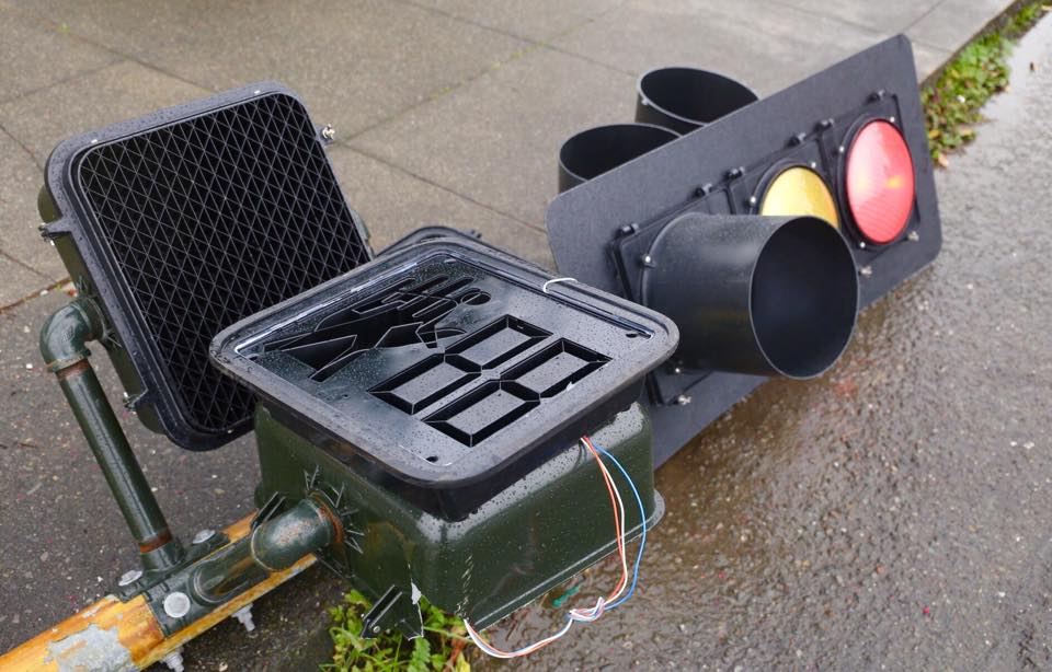
This Eureka traffic signal was was a victim of wind this morning. We’ve already seen all your “we will rebuilt” jokes. Photo: Andrew Goff.
As Scanner Traffic has already Indicated, this gusty, lusty wind is wreaking a bit of havoc around the county this morning. There have been quite a few reports over power lines going down on to the ground for unspecified reasons. Why are they not telling us? Until we bring the cover-up out into the open, we’re going to go with wind as the primary suspect. Just like what happened to Building 7.
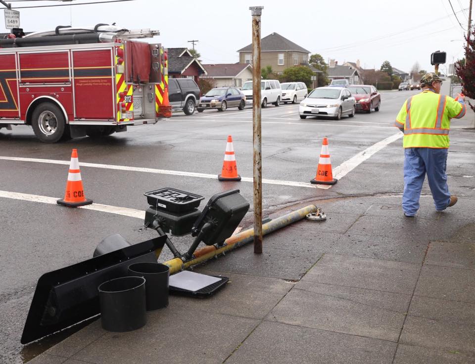
Moving closer to the concrete, a few minutes ago the Big Blow prompted the above spotlight — at the corner of Henderson and H — to lie down for a long winter’s nap. Eureka Public Works is on scene, coaxing it back upright.
The National Weather Service has issued a Urgent Weather Message pertaining to this crazy-ass wind. Here it is:
 ...WIND ADVISORY IN EFFECT UNTIL 7 PM PST THIS EVENING...

 THE NATIONAL WEATHER SERVICE IN EUREKA HAS ISSUED A WIND
 ADVISORY...WHICH IS IN EFFECT UNTIL 7 PM PST THIS EVENING.

 * WINDS...25 TO 35 MPH WITH GUSTS TO 50 MPH.

 * LOCATIONS INCLUDE...KNEELAND AND FICKLE HILL.

 * HIGHWAYS IMPACTED...299 INCLUDING BERRY SUMMIT. STRONG WINDS
   CAN MAKE DRIVING DIFFICULT...ESPECIALLY FOR HIGH PROFILE
   VEHICLES.

 * FOR A DETAILED VIEW OF THE HAZARD AREA...VISIT
   HTTP://WWW.WRH.NOAA.GOV/MAP.

 PRECAUTIONARY/PREPAREDNESS ACTIONS...

 A WIND ADVISORY MEANS THAT WINDS OF 35 MPH ARE EXPECTED. WINDS
 THIS STRONG CAN MAKE DRIVING DIFFICULT...ESPECIALLY FOR HIGH
 PROFILE VEHICLES. USE EXTRA CAUTION.
Stay safe, especially if you happen to be out on the ocean! The NWS has issued a special alert aimed at our seafaring friends, which hints also of thunderstorms in the offing. Here it is. Pass it on to the salty folk in your life.
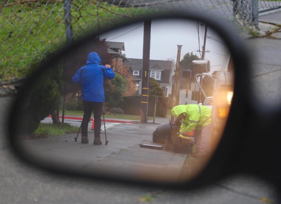
From the rearview: Stay dry, North Coast News reporter Jeremy Chen!
CLICK TO MANAGE