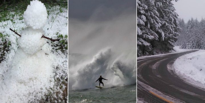
Outpost file photos from storms of old.
It seems that no matter what part of Humboldt you live in, you’ll be getting a taste of winter weather today.
The folks at Eureka’s National Weather Service office forecast that snow, hail and high surf will bombard Humboldt between now and Friday.
Snow will reportedly begin to fall late this afternoon in high elevation areas of Humboldt, Del Norte, Siskiyou and Trinity Counties. The NWS has issues a winter weather advisory for today and tomorrow, as three to six inches snow are expected to fall across several highway passes, including Berry Summit on Highway 299, Scott Mountain Summit on Highway 3 and South Fork Summit on Highway 36.
Showers of hail will also be possible for coastal areas of Northwest California tonight and tomorrow.
“Your best course of action is to slow down before you encounter small hail,” the NWS said on Facebook. “Small hail can quickly collect on the road resulting in very slick conditions. If you find yourself driving on a hail covered road, remember to slow down by easing off the gas pedal. Do NOT slam on the brakes and try to avoid overcorrecting as you could lose control of your vehicle.”
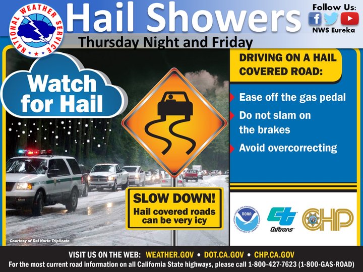
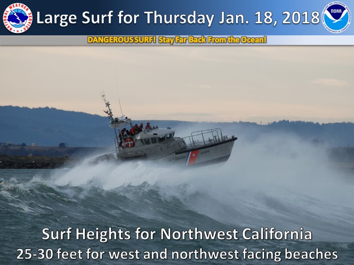
Infographics provided by the NWS.
Lastly, Humboldt’s coastline is expected to be bombarded with humungo’ 30-foot waves today. The NWS reports that a large swell will wallop Northwest California with 25 to 30-foot waves today, and 20 to 25-foot waves on Friday.
“With these conditions in place, people should stay off the rocks and jetties as large waves will crash over coastal features that may not normally get wet during smaller wave conditions,” the NWS said. “Don’t let the ocean fool you! Large waves can catch you off guard if you get to close to the water’s edge, and as always, never turn your back to the ocean!”
CLICK TO MANAGE