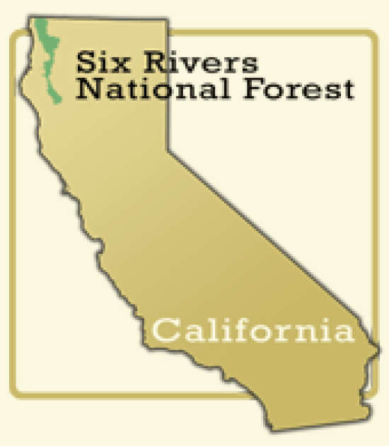
Six Rivers National Forest press release:
As weather and fuel conditions moderate from the hot and dry conditions of summer, Six Rivers National Forest staff will begin prescribed burning projects on the forest. These projects are part of Forest Service efforts to reduce hazardous fuel accumulations that contribute to extreme fire behavior should a wildfire occur. Several prescribed fire techniques are planned, including understory and hand-pile burning, and will be completed as fuel moistures and weather conditions permit.
Each prescribed fire follows a prescribed fire burn plan that outlines a set of logistical and environmental conditions to meet specific resource objectives. Environmental factors include fuel moisture, humidity, temperature, wind speed/direction and smoke column dispersal and direction. In addition, the forest works with the National Weather Service and the North Coast Unified Air Quality Management District to maintain compliance with state and federal burning regulations for the North Coast area.
Following is a district-by-district look at the burns planned for this fall:
Smith River NRA-Gasquet District
Total: 568 acres
Understory burns:
282 acres in the Elk Camp Fuel Break Project, located northeast of Gasquet, near the North Fork Loop Road,
97 acres in the Big Flat Project, located near the community of Big Flat, and
3 acres in the Pappas Flat Project, located near Gasquet, off Forest Service (FS) Road 17N49.
Pile burning:
46 acres within the Coon Mountain Meadow Restoration Project, and
140 acres within the Big Flat Project.
Smoke will be visible from the town of Gasquet on Highway 199, and South Fork and French Hill Roads, but should not affect travel on Highway 199.
Orleans/Ukonom Districts
Total: 500 acres
Understory burns: 450 acres within the Hazel Vegetation Project, near Deer Lick Saddle south of Orleans and the Klamath River.
Pile burning: 50 acres at forest administrative sites (Ti Bar Station, Oak Bottom and Orleans).
Smoke may be visible along Highway 96 and various county roads, but should not affect any travel routes.
Lower Trinity District
Total: 80 acres
Understory burns:
14 acres within administrative sites, including the Salyer Work Center and Greys Falls Campground, to protect the important and valuable Forest Service infrastructure, and
35 acres to improve bear grass collection near East Fork Campground, Horse Mountain and Sims Mountain.
Pile burning:
11 acres along Mill Creek Road, east of Hoopa,
5 acres on South Fork Road, near Hennessy Ridge Road, in Salyer,
5 acres on Friday Ridge Road, near Brush Mountain Lookout, and on FS Road 7N13, and
10 acres on Lone Pine Ridge, FS Road 7N30A.
Smoke will be visible from Highway 299 or 96 in the Salyer and Willow Creek areas, but should not affect any travel routes.
Mad River District
Total: 190 acres
Understory burning:
15 acres in the Van Duzen Vegetation Management Project, located between the Van Duzen Road and the Mad Ridge Fuelbreak on Mad River Rock Road, and
60 acres south of Ruth Lake in Beaverslide Timber Sale and Fuel Treatment Project, on Forest Service Road 27N34.
Pile burning:
50 acres on South Fork Mountain (Blake Mountain area) on FS Route 1,
50 acres in the Little Gulch Timber Sale area south of Ruth on Cobb Ridge, and
15 acres within administrative sites, such as the Mad River, Ruth and Zenia compounds, and developed campgrounds in the Ruth Lake, Mad River and Zenia area.
Smoke may be visible from the State Hwy 36 and the communities of Mad River, Hettenshaw Valley, Zenia and Ruth, but should not affect any major travel routes.
For more information, contact Interagency Fire Chief Mike Minton at (707) 441-3535.

CLICK TO MANAGE