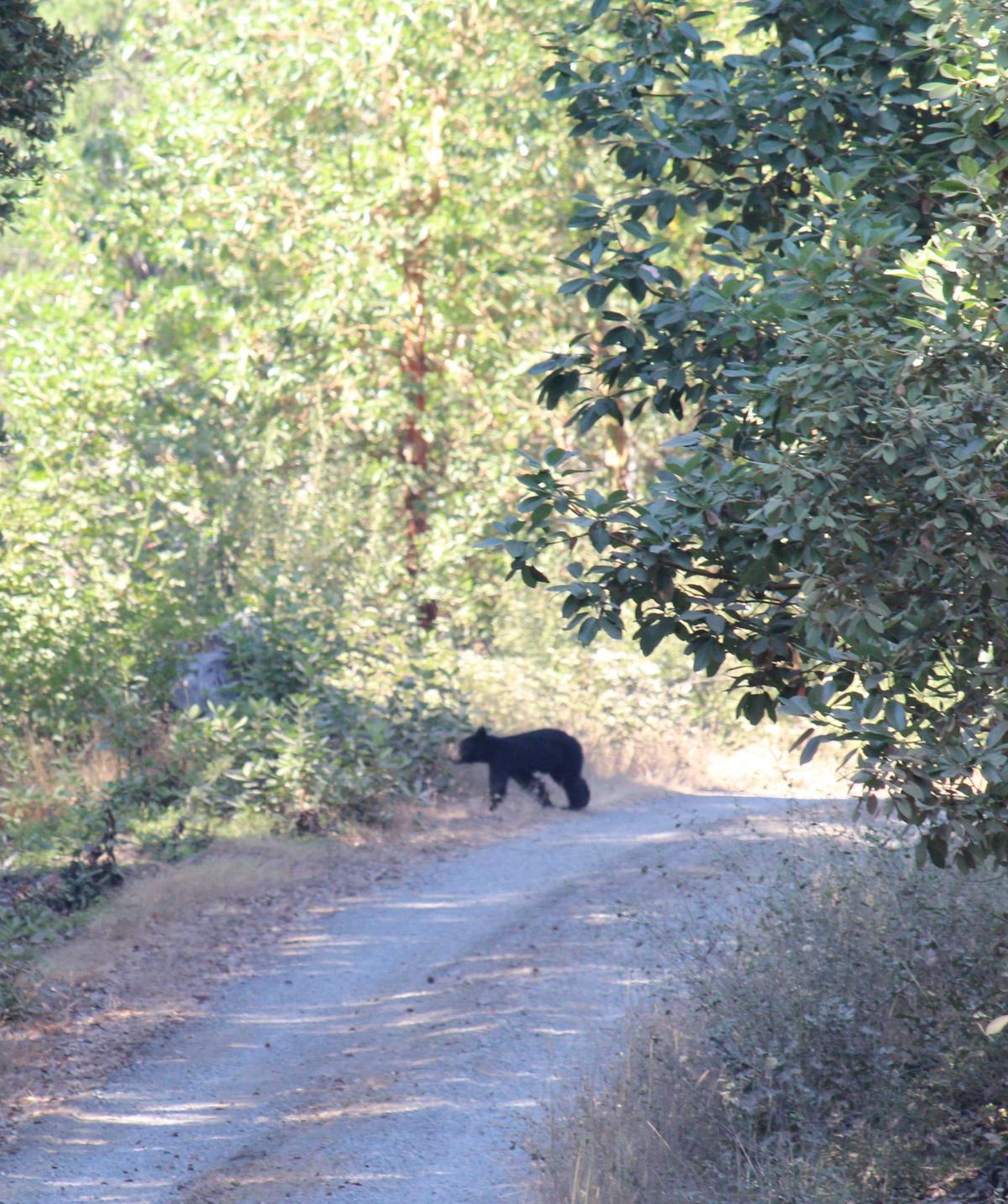
A young bear cub walks across the road at the Six River Lightning Complex. Photo/caption: CIIMT14, via Inciweb.
Press release from the unified command of the Six Rivers Lightning Complex:
The Six Rivers Lightning Complex remains in unified command with California Interagency Incident Management Team 14, California Highway Patrol, Trinity County Sheriff, and Humboldt County Sheriff. The Six Rivers Lightning Complex is currently 28,107 acres with 80% containment and 1,845 personnel assigned to the incident.
CURRENT SITUATION
Wednesday, the tail end of a passing marine layer kept fire activity low through most of the day. Once the weather trend had passed, fire activity increased in the afternoon hours. A positive aspect of the change in weather was clear skies which allowed aircraft to fly and support firefighters on the ground.
On the Ammon Fire, commitment to ensuring lines are holding is clear. For several days the footprint has remained the same because of the constant monitoring and improvement of containment lines. At the Campbell Fire, the number one priority has been to prepare the primary control line along Lone Pine Ridge and contingency line along Tish Tang Ridge. Containment lines around the perimeter are also being monitored and strengthened.
After days of preparation and line construction, defensive firing operations got underway Wednesday night. The firing began around 8:00 p.m. in areas of Lone Pine Ridge determined to have the most favorable terrain to conduct the operations safely. These strategic firing operations will allow firefighters to strengthen control lines ahead of the advancing fire front. With the increased size and complexity of operational tasks, additional resources have arrived to assist. To accommodate the influx of resources a second fire camp has opened at the Burnt Ranch campground.
Updated forecasts show temperatures for the week peaking today along with lower humidity. Moderate to high fire activity is expected and fire resources are being positioned accordingly. Defensive firing operations are expected to be utilized today to stay ahead of the advancing fire front in the northeast areas of the Campbell Fire.
Please check this link for air quality resources.
CLOSURES
Due to a large presence of fire personnel and machinery working to build containment lines for the Ammon Fire, residents are asked to limit travel on Titlow Hill Road/Route 1 in zones HUM-E052 and HUM-E062 to essential traffic only. The following roads into evacuation zones have been closed. Residents may still use these roads to travel out of evacuation order zones:
Forest Route 7n15 at Six Rivers Forest Boundary
Horse Linto Creek Road at Saddle Lane (Open to residents only)
6N06 Sandy Bar (Route 6)
Titlow Hill Road (Route 1) at Horse Mountain Botanical Area
State Route 299 remains open to through traffic. Residents are encouraged to visit The Caltrans QuickMap to check for state highway closures.
EVACUATION UPDATES
For the latest evacuation information go to Humboldt County Office of Emergency Services or Trinity County Office of Emergency Services. For an interactive map of evacuation zones visit: Zonehaven Aware To sign up for alerts at this link..
EVACUATION ORDERS remain in effect for zones: HUM-E058 and HUM-E061-A.
EVACUATION WARNINGS remains in effect for zones: HUM-E032, HUM-E056, HUM-E057, HUM-E061- HUM-E062, HUM-E063, HUM-
An EVACUATION WARNING remains in effect for Campbell Ridge Road from Salyer Heights to Seeley McIntosh Road. Salyer area, including Galaxy Road, and the area of Ziegler Point Road/Forest Service Road 7N04 have been reduced to an Evacuation Warning.
ANIMAL EVACUATION CENTER
Hoopa Rodeo Grounds
1767 Pine Creek Rd., Hoopa, CA 95546
Phone: (707) 492-2851MORE INFORMATION
For more information visit Inciweb.
CLICK TO MANAGE