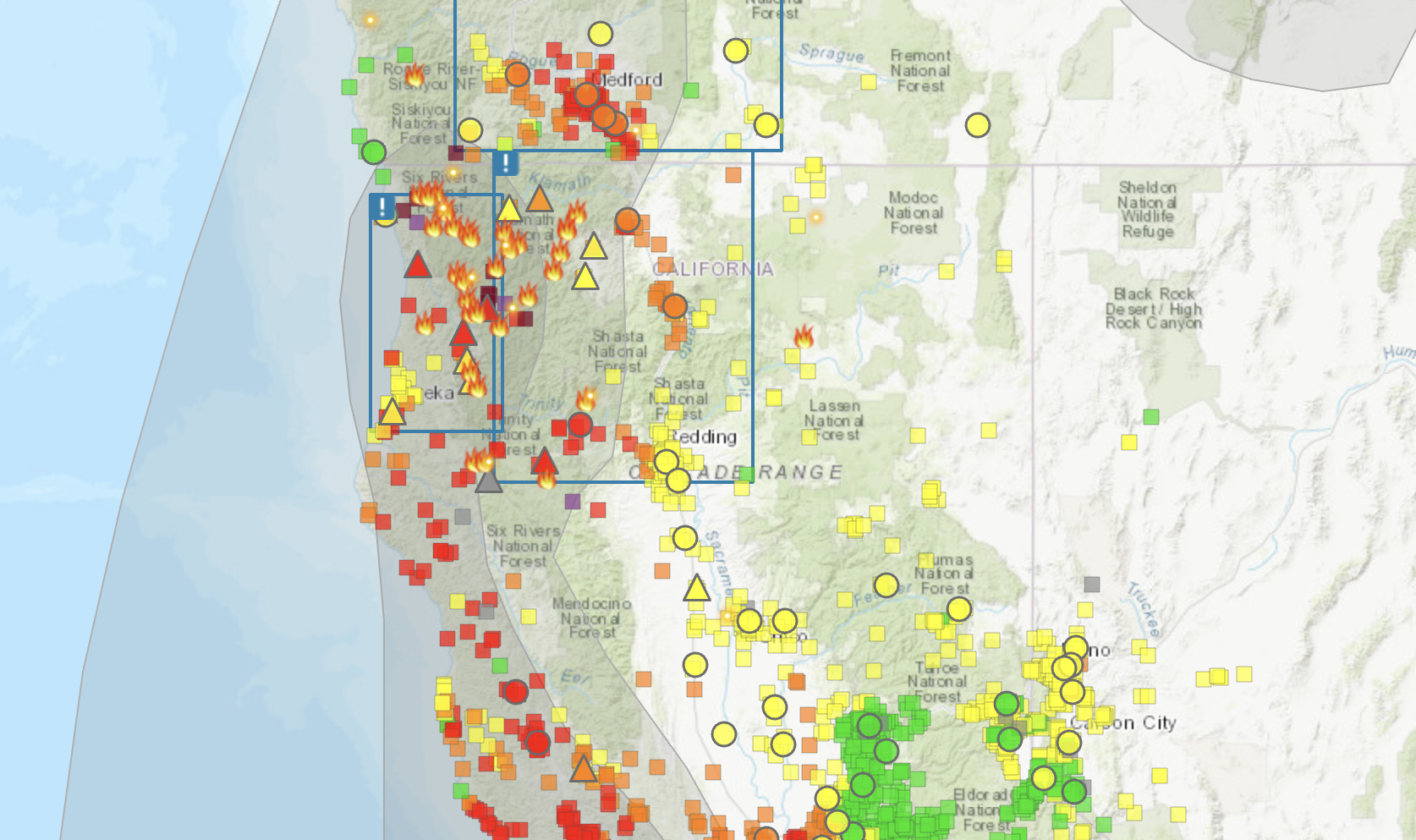
Screenshot of smoke map via AirNow.gov.
###
State agencies are reporting “unhealthy” air quality conditions for coastal communities all along the West Coast, the result of multiple fires burning across Northern California and Southern Oregon.
Coastal dwellers are experiencing “unhealthy” air quality conditions, with an AQI range of 150 to 180, due to smoke from the Smith River Complex being pushed south, according to the North Coast Unified Air Quality Management District.
“The increased smoke and southerly transport should result in most of the smoke being pushed to the [south and southeast],” according to an afternoon air quality update. “Unhealthy to Hazardous conditions are possible at times near Crescent City and Orleans, and generally Unhealthy conditions for communities … along the Klamath and Trinity River Valleys, and slightly better in Willow Creek. Along the coast, communities south of Crescent City should average Moderate as onshore flow begins to strengthen.”
Sensitive groups – including people with heart or lung disease, older adults, children, and pregnant people – should stay indoors in a place with clean indoor air and keep activity levels light.
Clean air shelters can be found at the following locations:
- Willow Creek Library (39 Mayfair Street, Willow Creek): Friday and Saturday, noon - 4 p.m. Wednesday and Thursday, noon - 5 p.m.
- Willow Creek Community Health Center - Open Door (38883 Hwy 299): Monday thru Friday 8 a.m. - 5 p.m.
- Dream Quest Willow Creek (100 Country Club Drive): Monday thru Friday, 11 a.m. - 7 p.m.
- Hoopa Neighborhood Facility (11860 Highway 96): Monday thru Frida, 8 a.m. - 5 p.m.
- Elders - Hoopa Health Assoc. Senior Nutrition Center, Loop Road, Hoopa: Monday thru Friday, 8 a.m. - 5 p.m.
###
As of this writing, the Smith River Complex, burning near Gasquet in Del Norte County, has consumed 75,775 acres and is seven percent contained, according to the Six Rivers National Forest.
Level 3 “Go Now” evacuations are in effect for Patrick Creek, Little Jones Creek, Copper Creek Drainage, Coon Creek/16n19 17n07, Washington Flat, Pioneer Road, Panther Flat Campground Area, all communities between Slant Bridge Road north to the Oregon Border along Highway 199, French Hill Road. A full list of evacuation advisories and additional fire information can be found at this link.
The 2023 SRF Lightning Complex and Redwood Lightning Complex have burned an estimated 14,783 acres in Humboldt and Trinity Counties and are 20 percent contained. The town of Orleans and surrounding communities are still under an evacuation warning due to the Pearch Fire, one of 20 fires burning in the complex. The fire has burned 3,466 acres. Containment is unknown. (A map of the complexes can be found here.)
The South Fork Complex, burning north of Dinsmore, has burned 3,516 acres and is 31 percent contained. The Humboldt County Office of Emergency Services issued an evacuation warning for residents in the area of Henry Ridge, north and east of the Mad River.
More information on fire activity can be found at inciweb.nwcg.gov.
CLICK TO MANAGE