Operational Updates: Firefighters had a productive day on the Butler Fire July 21 as cooler temperatures moderated fire activity. With temperatures in the low 80s and humidity up to 45 percent, firefighters were able to construct handline more directly on the fire’s edge and complete control lines around a number of spot fires and slop-overs from the day before.
Crews completed handline around the previous day’s spot fire near Tripp Point on the north end of the fire. Firefighters mopped up along the Salmon River Road corridor, extinguishing interior pockets of heat that still threatened the roadway.
Across the Salmon River in the Crapo Creek drainage, crews constructed direct handline from the river up to Yellow Jacket Ridge. Crews also built handline from Sawyers Bar Road up to Yellow Jacket Ridge along the fire’s eastern perimeter in Murderers Gulch.
Overnight firefighters took advantage of moderating weather conditions to conduct strategic firing operations to reduce available vegetation between the fire and structures around the confluence of the Salmon River and its north fork.
Crews extinguished or contained fire that had spilled or spotted into the Knownothing Creek drainage the previous day. They evaluated options for indirect control lines along Hotelling Ridge, while also identifying structures and infrastructure needing protection.
The west side of the fire stayed within control lines bordering the boundaries of the 2024 Boise Fire and 2023 Pearch Fire.
The Red Fire remains stable with no growth in days. Infrared flights have shown progressively less heat around the fire’s perimeter and interior.
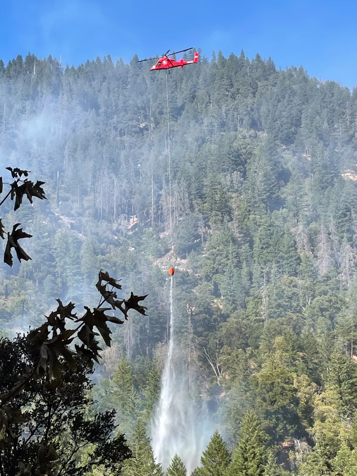
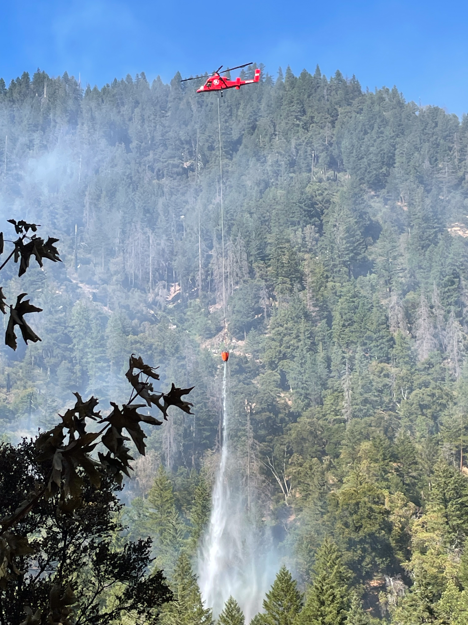
Photo: Six Rivers National Forest
Evacuations: Siskiyou County Sheriff’s Office expanded its evacuation orders July 20 to include zones to include zones SIS-1802 and SIS-1903. The following zones continue to be under evacuation orders: FRK-1709 (Forks of Salmon), SIS-1703, SIS-1704 (Butler Creek, Lewis Creek, Bloomer Mine residents and Nordheimer Campground), SIS-1707-A, SIS-1707-B, SIS-1708, SIS-1710, SIS-1803-A, SIS-1804, SIS-1805 and SIS-1808.
The Siskiyou Office of Emergency Services has established a dedicated phone number to assist people with their evacuation needs: 530-340-3539.
Zones SAW-1713, SIS-1705, SIS-1712, SIS-1803-B, SIS-1811, SIS-1906 and SIS-1907 are under an evacuation warning, where residents are advised to be prepared to evacuate if conditions become more threatening. The latest evacuation information can be found at https://protect.genasys.com.
Closures:
Butler Fire: Salmon River Road between Butler Flat and Nordheimer Campground remains closed as rocks and burning debris continued to fall onto the roadway.
National Forests: The Six Rivers and Klamath National Forests issued a joint closure order July 16 within the vicinity of the Butler Fire. The closure includes Nordheimer and Oak Bottom campgrounds. The Pacific Crest Trail remains outside of the closure area, but hikers are advised to exercise caution.
Weather and Fire Behavior: A local red flag warning is in effect today with a 20 percent chance of dry thunderstorms forecast for this afternoon. Outflow winds are expected out of the northeast with gusts up to 40 miles an hour, which could result in multi-directional fire spread and spotting up to a mile.
Fire Safety and Prevention: The Six Rivers National Forest implemented level 1 fire restrictions July 21. Restrictions cover a range of potential fire-igniting activities, such as building and maintaining campfires in certain areas, smoking, and operating spark-causing equipment and other tools.
For more information, visit the forest website at https://www.fs.usda.gov/r05/sixrivers/alerts. USDA is an equal opportunity provider, employer and lender.

CLICK TO MANAGE