
Genus
Persicaria (Knotweeds, smartweeds, and waterpeppers)
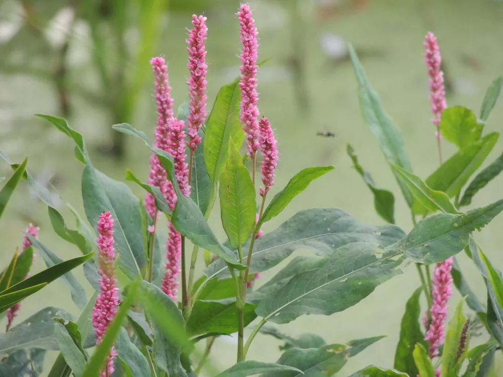
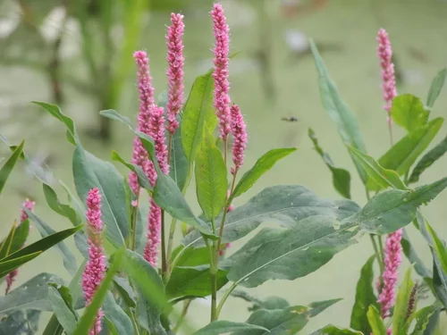
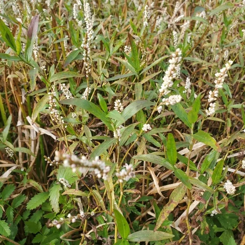
Persicaria amphibia. Photo: (c) erik_p, some rights reserved (CC BY-NC)
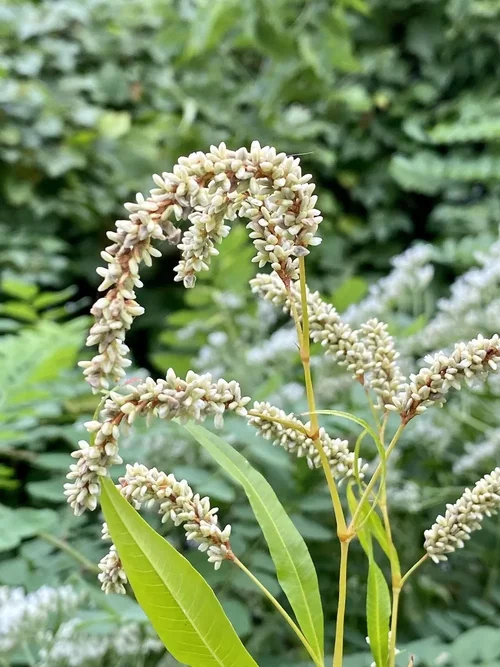
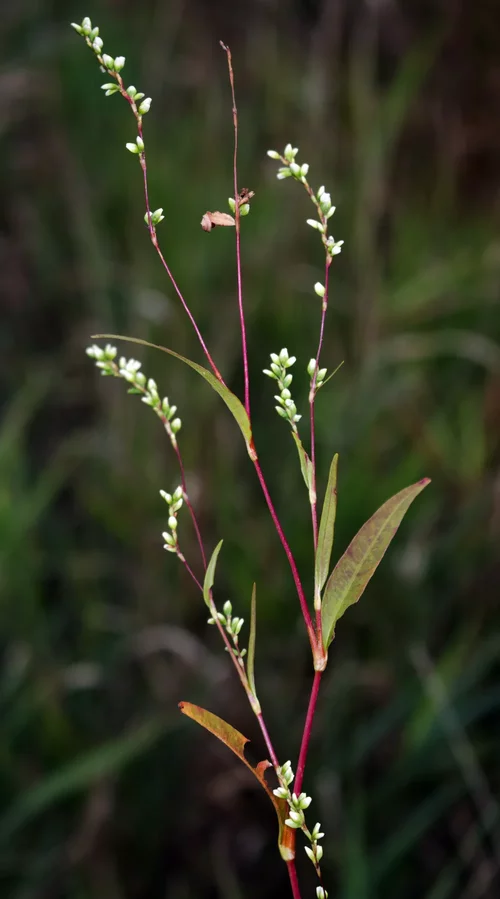
Persicaria is a genus of herbaceous flowering plants in the knotweed family, Polygonaceae. Plants of the genus are known commonly as knotweeds:436 or smartweeds. It has a cosmopolitan distribution, with species occurring nearly worldwide. The genus was segregated from Polygonum.
-
Humboldt Life
-
Kingdom: Plantae (Plants)
-
Phylum: Tracheophyta (Vascular plants)
-
Subphylum: Angiospermae (Flowering plants)
-
Class: Magnoliopsida (Dicots)
-
Order: Caryophyllales (Pinks, cactuses, and allies)
-
Family: Polygonaceae (Knotweed family)
-
Subfamily: Polygonoideae
-
Tribe: Persicarieae
-
Subtribe: Persicariinae
- Genus: Persicaria (Knotweeds, smartweeds, and waterpeppers)
-
Subtribe: Persicariinae
-
Tribe: Persicarieae
-
Subfamily: Polygonoideae
-
Family: Polygonaceae (Knotweed family)
-
Order: Caryophyllales (Pinks, cactuses, and allies)
-
Class: Magnoliopsida (Dicots)
-
Subphylum: Angiospermae (Flowering plants)
-
Phylum: Tracheophyta (Vascular plants)
-
Kingdom: Plantae (Plants)
CLICK TO MANAGE