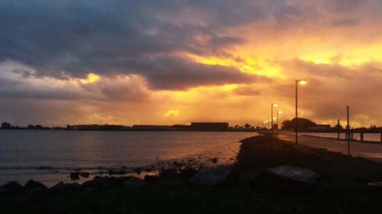
Today’s sunset submitted to LoCO’s Facebook page by reader Crystal Hurley
To put a nice little punctuation on today’s “rainageddon” coverage — before we pick up again tomorrow — KHUM DJ Larry Trask spoke with the National Weather Service meteorologist Ryan Aylward about where Humboldt stands after today’s storm and what we have to look forward to with regards to flooding tomorrow.
“Most of the rain has moved inland,” Aylward said noting heavy rain will continue falling on the upper reaches of the Eel and the Van Duzen throughout the night. Another storm system is moving in and will reintinsify the weather, bringing yet more rain and wind. Another river forecast is due at 9 p.m. tonight.
“The south fork at Miranda is already starting to rise,” Aylward said adding that significant flooding along Highway 36 should begin around 3 a.m. tomorrow morning. Peak flood time should occur sometime tomorrow afternoon. “Some of these peaks will occur after the rain stopped.”
In addition to the flooding, expect high winds to hit Humboldt overnight and in the early morning hours.
“When this next low moves in, we’ll see another gusty period,” Aylward said.
Thanks to Larry for his contributions to this summary. Listen to his full interview with Aylward below (also check out KHUM’s online coverage here) and adjust your life accordingly:
OTHER RAINAGEDDON:
- Images of Rainageddon (PHOTOS/VIDEO)
- Could Be ‘Highest Water” Ever at Fernbridge Except for ‘64 and ‘55
- Rainageddon Traffic Report: Numerous Local Accidents
- Power Outages in Honeydew and Petrolia
- The Rainageddon Radar Image Looks Like a Wet Dragon Set to Devour Humboldt
- Arcata Fire Predicts Rainageddon Will Be Worst Storm in 40 Years
- The Eel at Fernbridge Will Flood Friday Morning:
- Two Park Roads Closed in Advance of Rainageddon
- In Case of Flood: Tips For Dealing Humboldt’s Imminent Rainageddon

CLICK TO MANAGE