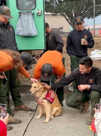
Press release from the management team of the Six Rivers Lightning Fires:
INCIDENT INFORMATION
Unified Command: Six Rivers National Forest, CAL FIRE, California Highway Patrol, Trinity County Sheriff, and Humboldt County Sheriff.
CURRENT CONDITIONS
The Lightning Complex Fire is currently 25,832 acres with 81% containment. 1463 personnel are assigned to the incident. USFS, CAIIMT 11 and CAL FIRE continue to work closely together in unified command with a full suppression strategy to protect homes and other structures, communities, crucial infrastructure, and important wildlife habitat. Federal IMT CIIMT14 will be transitioning with CIIMT11 today at 1900.
Fire activity was minimal overnight with the cooler temperatures and increased humidity. Control lines are holding well. Crews continued successful strategic firing operations and improved control lines using dozers and handlines to remove fuels. Unburned pockets of fuel within the control lines continue to burn off and create smoke.
Campbell Fire
Fire crews will continue to strengthen fire lines, patrol, and extinguish remaining pockets of heat inside control lines.
Ammon Fire
Fire crews will continue to strengthen fire lines in the northeast portion of the fire, as well as patrol and extinguish remaining pockets of heat within the control lines. Crews will continue to improve and reinforce fire lines along Titlow Hill Rd/Route 1 out to Highway 299.
WEATHER
Stable weather is expected over the area, with northwest winds up to about 10mph, gusting slightly higher along the ridgetops and where channeled by terrain. Temperatures are predicted today in the 70s and 80s, with smoke free areas possibly getting into the low 90’s.
SMOKE
A strong inversion will continue to keep smoke over most of the area. Some clearing will take place in the afternoon, particularly along the northwest areas of both fires. Please check this link for air quality resources.
ROAD CLOSURES
State Routes 299 and 96 are currently open in the Lightning Complex but may be impacted by fire behavior. Travelers are encouraged to visit the Caltrans Quickmap to check for state highway closures. The beginning of deer hunting season this weekend is expected to increase traffic in the area.
The following roads leading to evacuation zones have been closed (residents may use these roads to exit only):
- Forest Route 7N15 at Six Rivers Forest Boundary Horse
- Linto Creek Road at Saddle Lane
- Friday Ridge Road at Forest Route 6N06 (both roads are closed at this point)
- Titlow Hill Road/Forest Route 1 after Horse Mountain Botanical Area
Because fire personnel and machinery will be building control lines for the Ammon Fire, residents are asked to limit travel on Titlow Hill Road/Route 1 in zones HUM-E052 and HUM-E062 to essential traffic only.
EVACUATION CENTER
The American Red Cross Evacuation Center at Trinity Valley Elementary School is closed but on stand-by if needs change. If further evacuations are ordered or evacuation orders changed, the facility will re-open to accommodate new evacuees.
ANIMAL EVACUATION CENTER
Hoopa Rodeo Grounds
1767 Pine Creek Rd.,
Hoopa, CA 95546
Phone: (707) 492-2851** The Hoopa Rodeo Grounds has several single pens and larger pens for whole herds. Call directly if you need directions or help transporting your large animals. They cannot house sheep, goats, poultry, or small animals, but they can potentially help arrange for temporary foster placement. If you can foster, please reach out regarding your availability and capacity.
EVACUATION UPDATES
For the latest evacuation information go to Humboldt County Office of Emergency Services or Trinity County Office of Emergency Services. For an interactive map of evacuation zones visit Zonehaven Aware. To sign up for alerts visit this link.

CLICK TO MANAGE