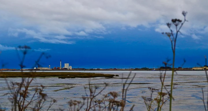
File photo: Andrew Goff.
If you look at the weather forecast down at the bottom of the LoCO homepage, there, you’ll see that it looks like some weather is going to happen to us this weekend and early next week. And it kind of feels like it, doesn’t it? Those slightly cool winds, a heaviness to the air? Something’s going on. Am I crazy?
Your friends and ours at the National Weather Services’ headquarters are monitoring this situation, naturally. Here’s what they have to say in this morning’s Area Forecast Discussion:
Other than some stratus across portions of the Eel River Valley, skies this morning are mostly clear across the area. Temperatures ranged from a few upper 30s in some normally colder valley locations to the lower to mid 60s across the higher elevations of Lake and S Mendocino counties. A large upper low is presently nearly stationary over SE OR. The proximity of this low will continue to support cooler than normal temperatures into the weekend.
A large upper trough will dig south over the east Pacific by late in the weekend and early next week. In addition, an IVT (integrated water vapor transport) plume is forecast to impact the coast of Northern CA during this time period. While there are differences in both the upper pattern amongst the global models in addition to the associated surface features, the precipitation patterns are similar, with locally heavy rainfall still forecast to impact Northwest CA. The highest rainfall totals are expected to favor the N portion of the area. The latest QPF totals from Sunday morning through Monday evening range from around 4 inches over the windward sides of Del Norte mountains to around a quarter of an inch over South Lake County. These forecast rainfall amounts have ticked up since yesterday. Higher amounts are certainly possible due to the moderate to occasionally strong water vapor transport. A few thunderstorms are possible over the North coast and adjacent coastal waters Monday afternoon and evening. Lingering showers will continue into the middle of next week.
So rain early in the workweek, and hanging around for a bit after that. This is good news up in the north, where it could go a long way toward squashing the wildfires that continue to rampage up there.

CLICK TO MANAGE