The parking lot at Bay Street on the Samoa Peninsula, often called simply “The T,” partially collapsed down a steep cliffside late last week. | Photos and video by Ryan Burns.
###
PREVIOUSLY:
- (VIDEO) Watch a Cliffside Near Centerville Beach Slide Into the Ocean
- EMERGENCY DECLARATION: Sheriff Honsal Seeks Outside Resources Due to Ongoing Fleener Creek/Centerville Landslide
A little over a month ago, during high tide, huge chunks of the bluff at Fleener Creek Overlook flaked off in powdery sheets, falling nearly 100 feet to Centerville Beach, where waves lapped at the accumulating mountains of fallen silt and dirt. The collapse, which took a big section of parking lot with it, sent people running, as seen in dramatic drone video. The county later declared a state of emergency.
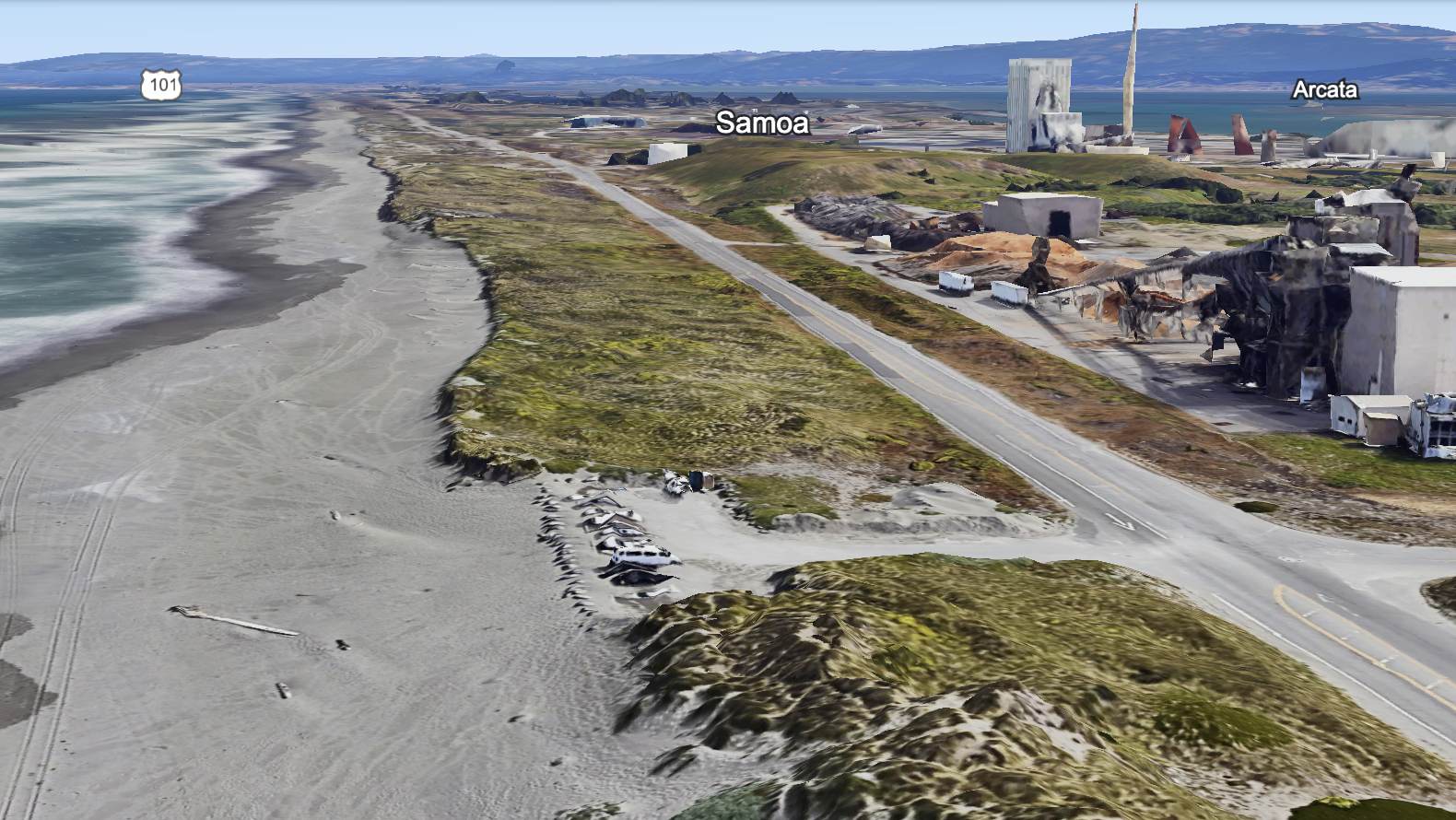
On Friday, a smaller version of this natural drama took place at the Bay Street parking lot on the Samoa Peninsula. The pounding waves of high tide, which have been eating away at the dune slope to form temporary coastal cliffs up and down the peninsula, undercut the asphalt until a big sections fell onto the beach below.
In response, the County of Humboldt closed the popular parking spot, commonly called “the T,” and the Samoa Peninsula Fire District issued a public safety warning, urging people to urge extreme caution on all local beaches due to the steep and still-eroding banks.
Compare the image in the video above to the one below, showing what the beachside parking lot typically looks like:
The T parking lot at Bay Street.
###
What’s going on? Why have local beaches and coastal cliffs changed so much this year? Well, according to Troy Nicolini, meteorologist-in-charge at the Eureka office of the National Weather Service, the extraordinary erosion is the result of a particularly brutal wet season.
“It was a really unusual winter,” Nicolini said when reached by phone on Tuesday. “It’s been really long. We’ve had a really unusual cadence of storms. If you’ve lived here for long you may have felt it psychologically. We just didn’t get the breaks we often get for the winter.”
It’s typical for big waves to carve out local beaches during the winter, pulling sediment out into the surf zone where it forms shoals. The shoals help protect the beaches by causing waves to break farther offshore, Nicolini explained. And once the weather starts to turn — usually around this time of year — summertime wave patterns help rebuild the beaches, steadily moving that sand back into the beach zone.
Seasonal northwest winds help this process, blowing sand from the wet beach area onto the surface of coastal dunes, where it get gets trapped and accumulates. The pattern is cyclical, but this year’s El Niño climate pattern resulted in a much longer stretch of winter weather than usual, with successive storms battering the coast without much reprieve.
“I mean, we feel it in our staff,” Nicolini said. “Like, our staff is worn out. We work overtime during the storms, and normally we get a break to sort of dust ourselves off. The beaches are the same way: They haven’t had a break.”

The parking lot at Bay Street is currently closed.
The damage won’t be cheap or easy to repair, either. Humboldt County Public Works Director Tom Mattson said county workers collaborated with personnel from the Peninsula Community Services District over the weekend to remove some of the bigger chunks of rock and asphalt from below the Bay Street parking lot. But access remains limited, and a long-term fix could take months or more.
“We’re struggling because that’s a parks facility and they have no funding,” Mattson said. The county is trying to dig its way out of a $12.4 million budget deficit. “And our general fund is hurting really bad right now,” Mattson said.
The Fleener Creek Overlook will be even more expensive and difficult to rebuild. Mattson said that cliff face has been eroding for more than 30 years, and this will be the second time in his tenure with the county that they’ve had to retreat away from the bluff, moving the parking lot and access road farther inland.
“The original road was about 150 feet west of where it is now,” Mattson said. “That’s how much is gone.”
The county has asked the state to provide geotechnical engineers and geologists to help come up with a longer-term solution for this challenging spot. A 2022 study by researchers at UC San Diego’s Scripps Institution of Oceanography found that Centerville Beach, five miles west of Ferndale, has a faster rate of erosion than anywhere else on the California coast.
Asked whether sea level rise is a contributing factor to this year’s exceptional rates of erosion, Nicolini said probably not. Ocean levels rise just millimeters per year. That’s true even around Humboldt Bay, where geologic subsidence accelerates the effect. (According to the California Ocean Protection Council, sea level around the bay is expected to rise by as much as a foot above its 2000 level by 2030 and as much as three feet by 2060.)
[CLARIFICATION: As Nicolini notes in the comments below: “[S]ea level rise certainly contributes to long term erosion trends. It just doesn’t explain the difference between the significant erosion we are seeing this year, compared to last year, for example.”]
What’s harder to calculate are the effects of climate change.
“That’s the real challenge for climate scientists,” Nicolini said. As climate change continues to warm the planet, scientists say weather variability will increase. Storms will get more intense. Warming oceans may change wave behavior. Past precedent will become less reliable as a predictor of future weather, and here in Humboldt County, this year has certainly been an outlier.
Nicolini has been working at the National Weather Services’ Eureka office for 26 years now and doesn’t remember a winter quite like the one we just had.
“I live in Fairhaven and I watch the beaches really closely,” he said. “And I’ve noticed there’s almost different signatures of how a storm interacts with the beaches. And in those 26 years, I’ve never seen a winter that had such a relentless cadence of storms … .
“Like, is this actually climate change? Or is it just normal variability of the climate we live in?” he continued. “These erosion events are pretty significant from a human perspective because they’re cutting into roads and areas that they don’t usually cut into, but every year they carve the beaches out, mostly from the wave behavior.”
Time will tell whether future years will bring a repeat of these big erosion events, but Nicolini said the important thing now is for people to be extra cautious while visiting local beaches — especially steep ones where they could potentially get trapped against the newly formed cliff faces at high tide.
“Places that people might have thought were safe are not safe right now,” Nicolini said. He urged people to be extra cautious until the local beaches rebuild and get back to their normal slopes.

A steep cliff along a beach on the Samoa Peninsula.
CLICK TO MANAGE