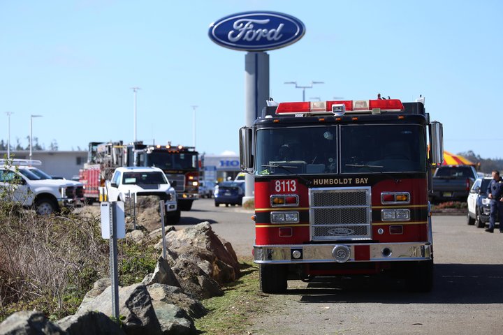
Numerous Agencies Responding to Plane Crash at Murray Field
Above: Humboldt Bay Fire Captain Tim Citro sums up the incident.
# # #
UPDATE, 12:26 p.m.: Says Todd of the Scanner Traffic Indicates Corps, referencing an update below:
Photos from EPD show that the crashed aircraft was a light sport type aircraft not tracked by flight data, not the Bonanza I speculated earlier. Apologies to the Bonanza pilot, who appears to have landed safely at Murray just around the time of the crash.
###
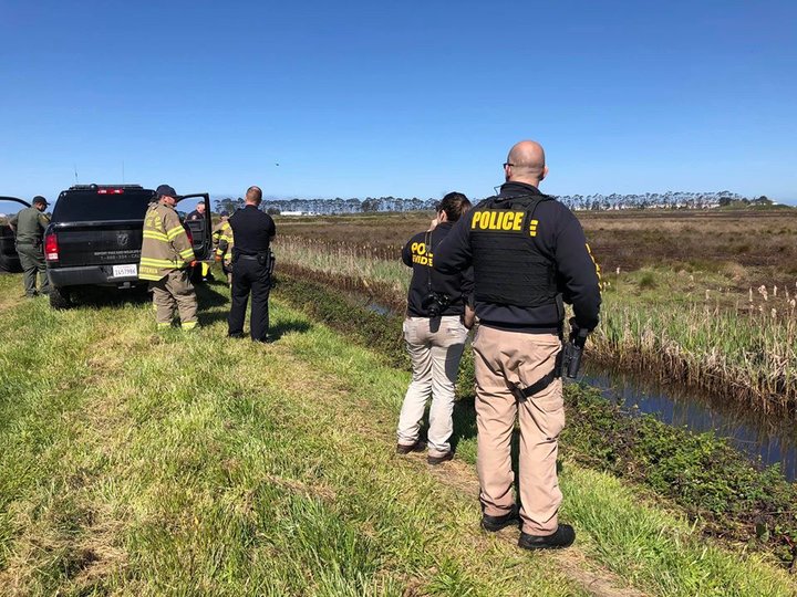
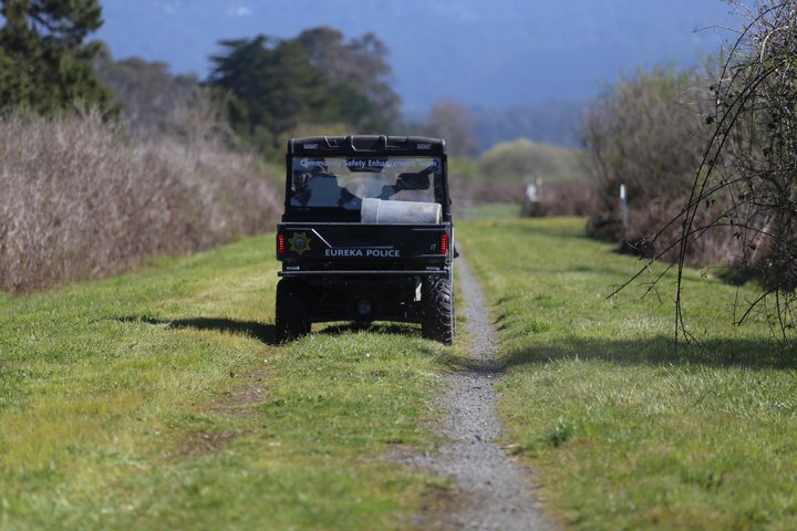
UPDATE, 12:15 p.m.: Photos below from the Eureka Police Department:

###
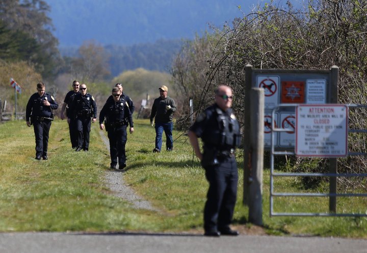
Photo: Andrew Goff.
UPDATE, 12:07 p.m.: Scanner listener “Todd,” of our Scanner Traffic Indicates Corps, says:
Based on online flight data, it appears that the involved aircraft was a privately owned 1976 Beechcraft A36 Bonanza that flew out of ACV, up the coast, turned at Big Lagoon and appeared to be on approach to Murray Field when the crash occurred.(Corrected)
###
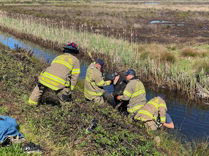
UPDATE, 11:48 a.m.: According to scanner traffic, the pilot has been located and is reported to have “minor” injuries. They’re transporting him back to the road to meet an ambulance.
###
UPDATE, 11:45 a.m.: A couple of photos from the Outpost’s Andrew Goff, who is at the scene:
###
UPDATE, 11:40 a.m.: The pilot appears to be “alert and standing,” Watson says.
###
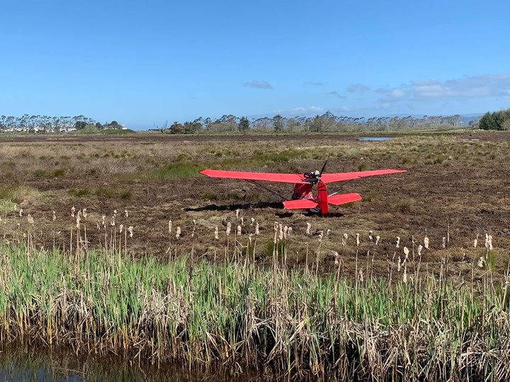
UPDATE, 11:38 a.m.: Watson reports to dispatchers that it’s a red, fixed-wing aircraft, and he’s about 200 yards away from it still.
###
UPDATE, 11:36 a.m.: Eureka Police Chief Steve Watson, who is hiking out Fay Slough with other law enforcement officers, reports to dispatch that he has found the plane. They’re attempting to reach it. (Via scanner traffic.)
###
Multiple first response agencies are responding to near Murray Field, the small airport in the safety corridor, on report of a plane crash.
The first people on scene report a small plane down near Fay Slough, by Mid City Motor World, and the occupant of that plane apparently self-extricated from the wreckage. There are also reports of smoke seen at a separate location, but possibly in connection with the crash.
Updates below are from the CHP dispatch center.
CLICK TO MANAGE