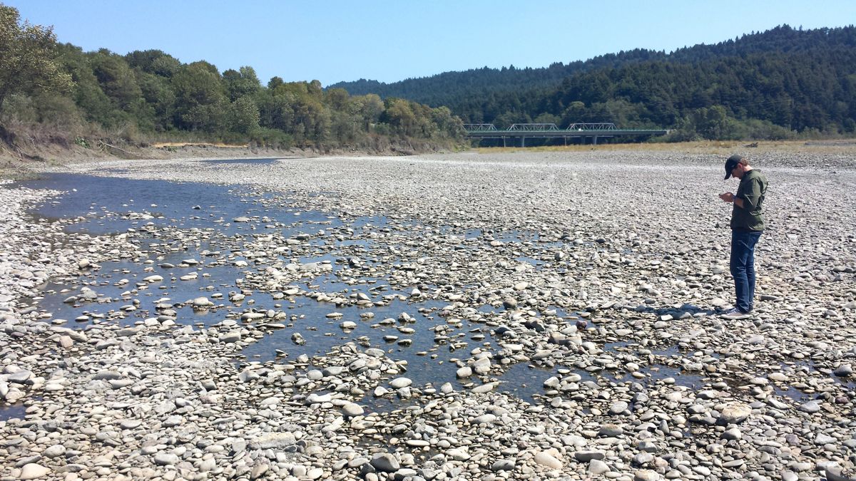
UPDATE: KHUM’s Mike Dronkers and this reporter took a field trip to see if we could find the spot where the Van Duzen disappears. Sure enough, a few hundred yards from Hwy. 101 the river just peters out:
Here’s Dronkers standing at the river’s terminal edge:
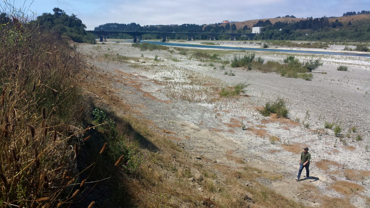
Meanwhile, the Eel River isn’t looking very robust either. (Click the photos to enlarge.)

###
Original post:
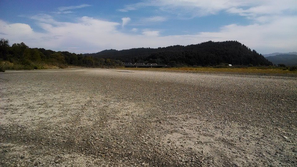
The photo above, taken by Rowdy Kelly and sent to the Outpost‘s Facebook account this morning, appears to show the Van Duzen Riverbed, bone dry. The shot was reportedly snapped on Tuesday, roughly a quarter-mile from the river’s convergence with the Eel.
The nearest water gauge on the Van Duzen is roughly 30 miles upriver, near Bridgeville, and according to Reginald Kennedy, a hydrologist in the National Weather Service’s Eureka office, the flow is at a record low (for this date) of 7.3 feet per second. The previous low of 11 feet per second was recorded during the drought of 1977.
While there is still a small amount of water flowing near Bridgeville, it dwindles on its way downriver and finally goes completely underground before converging with the Eel, Kennedy said.
On Tuesday, the Humboldt County Board of Supervisors declared a state of emergency, joining dozens of other local governments, and the State Water Resources Control Board voted in emergency regulations, including fines for wasting water. The new rules, which take effect Aug. 1, allow local governments to levy fines of up to $500 per day.
The San Francisco Chronicle reports:
The new restrictions bar residents and commercial water users from using drinkable water to hose off sidewalks and driveways, water lawns or gardens to the point of causing runoff, wash cars without a shutoff nozzle and using potable water in non-circulating fountains.
Locally, low flows are being blamed in part on illegal water diversions for illicit marijuana grow operations. NBC News interviewed a couple of locals on the topic last week:
CLICK TO MANAGE