NWS.
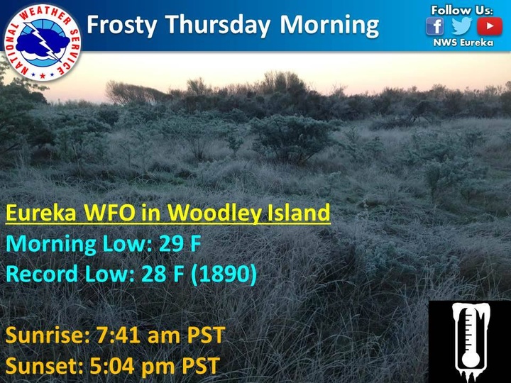
This morning’s icy temperatures nearly matched a record low of 28 degrees set 127 years ago.
Meteorologist Richard Lam of the Eureka National Weather Service tells the Outpost that a low of 29 degrees was recorded on Woodley Island at 7 a.m.
Lam said that Humboldt County can expect similar conditions tonight, and advised drivers to be cautious as wet roads may freeze over.
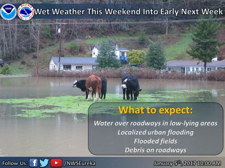
A series of storm systems are also predicted to reach Humboldt County this weekend. The first storm is expected to drop two to four inches of rain on Humboldt County starting Saturday night.
Another more powerful storm is forecast to reach Humboldt at the beginning of next week. Lam said this storm may bring moderate to heavy rainfall to Northwest California.
We will update as the storms get closer to our area. Read more from the NWS below.
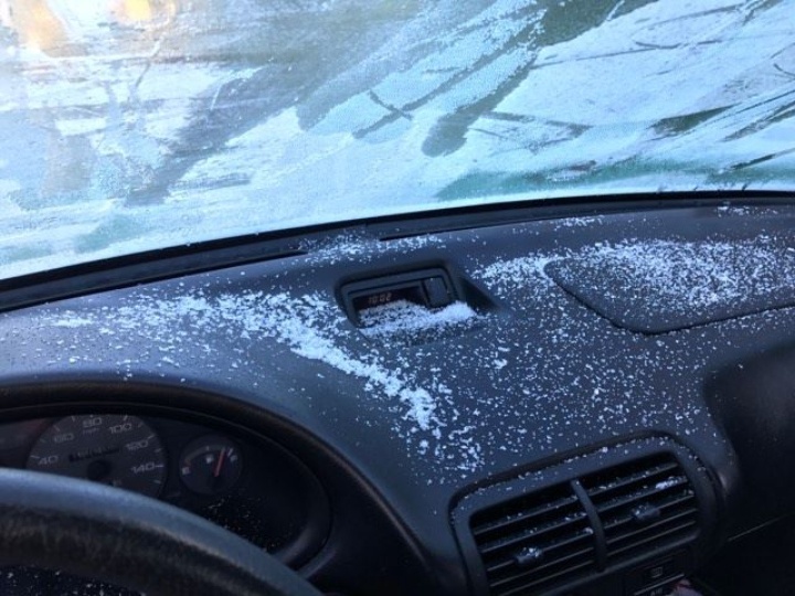
It was so cold this morning, LoCO reporter John Ferrara had to de-ice the inside of his car windshield.
National Weather Service of Eureka:
Frosty morning this Thursday in NW California.
Eureka Forecast Office observed a morning low of 29 F, which is only 1 degree shy of the record low of 28 F set back in 1890.
There will be 9 hours and 23 minutes of daylight today in Eureka, CA. Enjoy the sunny weather today.
###
Heavy rain is expected late Saturday into Sunday with 2 to 4 inches of wide spread rain accumulation.
Area creeks, streams, and rivers will see significant rises Saturday night through Sunday. The heavy rain will also cause water and debris to wash onto roadways.
Remember, if you encounter a flooded road, turn around, do not drown. Following the first storms system, a secondary and more potent storm system is forecast to impact Del Norte, Humboldt, and Trinity counties for the start of the work week.
Stay tuned to weather.gov/eka for the latest forecast updates.
CLICK TO MANAGE