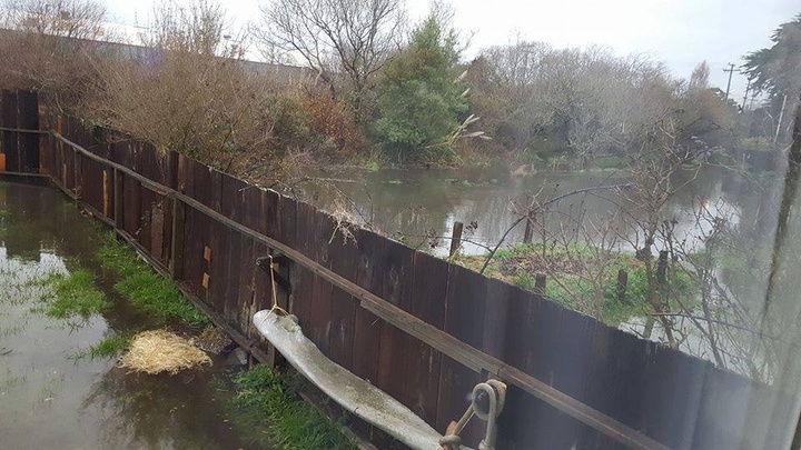
Reader Rheannon Okey shares a view of her soggy backyard near Gannon Slough/Jolly Giant Creek
UPDATE, 4 p.m.:
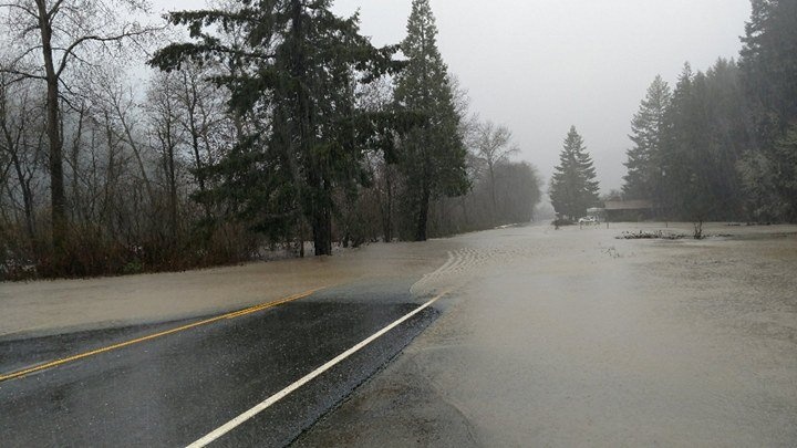
LoCO reader Jake Hess sends us this pic of flooding on Highway 36 at mile marker 42.8 in Humboldt County, between Mad River and Dinsmore. Hess said he watched a lifted 4x4 truck make it across the two to three-foot pool of water.
Drive safe out there.

Photo by Jake Hess.
###
UPDATE, 1:20 p.m.:
- Maple Creek Road at slide- 1 lane traffic open
- McCann Ferry is not operating
- Roads closed due to trees in power line, PG&E notified
- Ettersburg Rd-3/4 to 1 mile from Shelter Cove Road
- Dyerville Loop Rd, PM 10.00 and 14.00
Flooding
- Sprowel Creek Rd, approx. 1 mile from Garberville
- Coffee Creek Rd.-Closed
Slides
- Redwood Drive @ ‘The Bluff’s” -Closed
Cleared
- Tompkins Hill Road
- Table Bluff Rd at Clough Road.
###
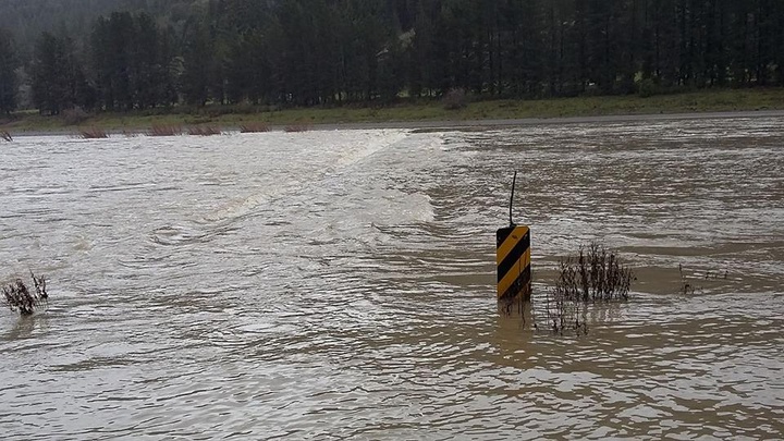
Wet enough for ye? As predicted, most of Humboldt, like much of Northern California, is currently enduring heavy, heavy rainfall caused by that dang ol’ atmospheric river. And guess what? This storm will continue for the next few days! Stay safe, warm, fed, dry, powered, and maybe entertained (in that order, if you can).
In addition to the widespread power outages and lost, confused sheep we’ve already seen, the local branch of the National Weather Service advises that flooding is likely in Humboldt.
“Heavy rain this morning and afternoon may result in flooding of roadways, small streams, and other low lying areas … mostly outside of the Humboldt Bay area as rain there has been a bit lighter than in other areas,” NWS noted on social media this morning.
Ack. CHP looks pretty busy today.

As of just before noon today, here is the latest road closure info from the Humboldt County Department of Public Works:
- Maple Creek Road is closed at the slide; 1 lane traffic open
- McCann Ferry is not operating
- Roads closed due to trees blocking road: Table Bluff Rd at Clough Road.
- Trees in power line, PG&E notified at the following locations: Tompkins Hill Road; Ettersburg Road, 3/4 to 1 mile from Shelter Cove Road; Dyerville Loop Rd, PM 4.08
- Flooding: Sprowel Creek Rd, approx. 1 mile from Garberville
If you happen to see flooding of any kind, well, both LoCO and NWS would like to know about it so we can pass pertinent info on to readers here. Remember: LoCO hosts a few tools that may be of assistance to you in wacky times like these:
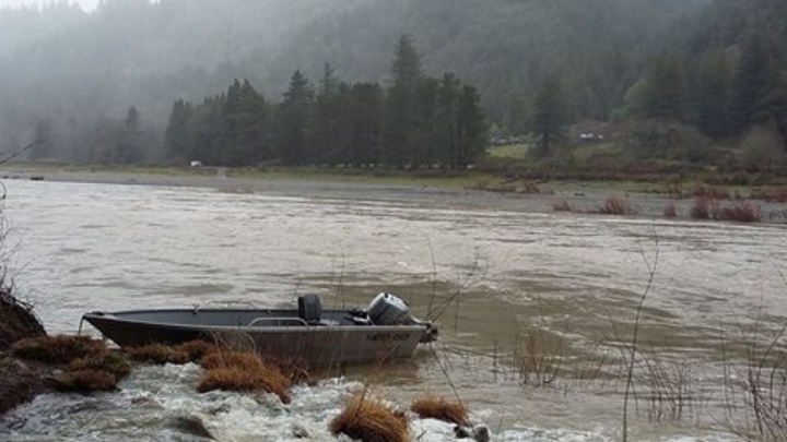
Above and below, photos courtesy Susan Barber Shinn: “The bridge over the Eel River in McCann this afternoon and the alternate means of getting across the river.”
CLICK TO MANAGE