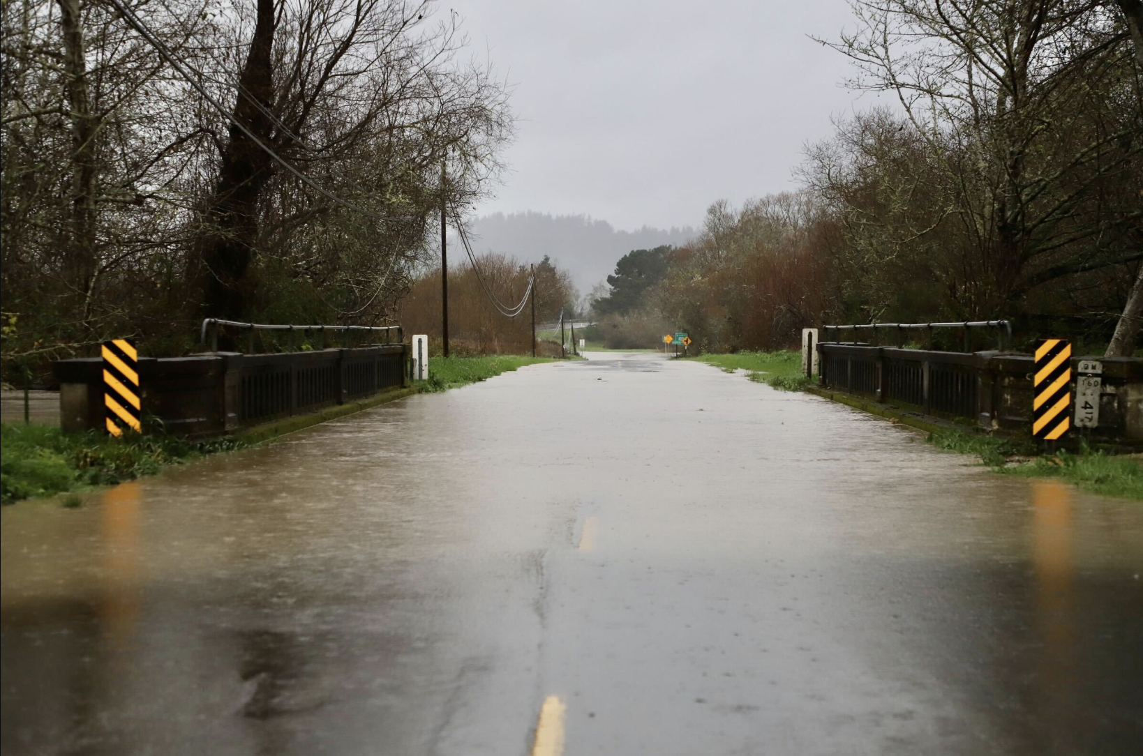
When things get even moderately wet, Eel River Drive starts to look like this. File photo: Andrew Goff.
We’re closing in on the end of September, so now’s the time to look back and reflect on the year that has been. And all told: Pretty damned good year, wasn’t it? Pretty wet!
We’re talking about the “water year,” of course – that period from Oct. 1 to Sept. 30 that meteorologists and other scientists use to talk about rainfall here in the U.S. of A. Look at the LoCO weather report down at the bottom of our homepage. See the line for “year to date” precipitation? On Oct. 2, that number will reset to zero. That’s because we’re talking about the water year, not the calendar year.
Anyway, to repeat ourselves: Pretty damned good! This year, for the first year since 2016-2017, we had a significantly wetter year than average. (I’m arbitrarily defining “significantly wetter,” here, as 20 percent above average.) The year before – 2022-2023 – was about average. Before that: Three years of severe California drought.
Here’s how 2023-2024 has played out:
Started off, in the first three months, just barely struggling to keep pace. But as of January 1, the skies really cut loose! We’re talking flood warnings. Highway closures. Snow packing. Major coastal erosion. Inconvenient in the moment, but we banked some moisture for the summer months.
Hats off to the 2023-2024 water year. But what’s the long-term forecast? Are we going to keep this streak alive, or are we headed back to drought days?
Short answer: No one knows! And that’s because the usual thing the meteorologists talk about when they talk about long-term forecasts are El Niño or La Niña patterns in the Pacific Ocean. And though these patterns can have very dramatic effects elsewhere in the world, it turns out that they have little bearing on the amount of rainfall we get here on the North Coast.
You see that? By far the wettest year we’ve had in the last decade was a La Niña year … but so was the very driest year! Same with El Niño years – they can be wet or dry, at least here in Humboldt.
For what it’s worth, this year they’re predicting a very high probability of a weak-ish La Niña pattern forming sometime soon, which would mean generally a drier-than-average winter for the state of California as a whole.
While we have you: If you’re a real weather nerd, the National Weather Service’s ENSO Blog is a surprisingly lively and fun read that is more or less accessible to the lay reader. (“ENSO” is the acronym for “ El Niño-Southern Oscillation,” the technical name for the El Niño/La Niña cycle.) Also, of course, you should be tuned in to the super-geeky Weather West blog.
CLICK TO MANAGE