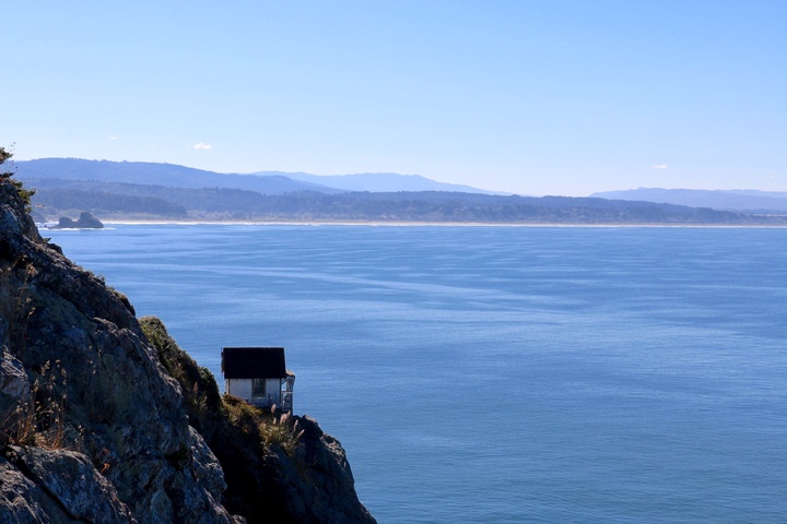
The Lost Coast. File photo.
Humboldt County’s coastal cliffs are crumbling quicker than cliffs anywhere else in California, according to the results of a study released in August.
Led by researchers at UC San Diego’s Scripps Institute of Oceanography, scientists flew a prop plane with a lidar sensor — a laser-powered distance measuring tool — up the California coastline in October 2023, plotting the topography of the many hundreds of miles of coastal cliffs along the 1,000-mile shore. (Cliffs compromise about 65% of California’s coastline.) They split each segment of coastal cliffs into 60 different regions, then compared their data with NOAA lidar data from 2016 and measured how far the cliffs’ top edges and main bulk (the cliff face) had retreated during the last seven years.
Northern California’s cliffs are retreating much faster than Southern California’s, the study’s lead author, University of Maryland associate professor Danghan Xie, told the Outpost during a phone interview. (He was a post-doctoral researcher at Scripps until January.) He’s not sure why. That’s a topic for future research, but he suggested that higher rainfall, powerful tides, larger waves, and unique geology, vegetation, and cliff shape could have contributed. “It’s so complex,” he said.
Statewide, California’s coastal cliffs are retreating slowly. From 2016 to 2023, the average cliff top across the whole California coastline receded around 1.5 inches annually. But here in Humboldt, the rate picks up noticeably: they moved about six inches a year, and some Humboldt cliffs are retreating a lot faster than that. During those seven years, the Lost Coast Headlands retreated an average of more than 70 feet every year, the highest coastal retreat rate of any region the researchers studied. Other areas here leaped inland, too: the King Range segment moved an average of 56 feet annually, and a cliff a few miles north of Trinidad retreated almost 29 feet every year. The average coastal cliff in Orange County receded less than half an inch a year.
Erosion here was also, correspondingly, much higher. The Lost Coast Headlands averaged a loss of more than 1,500 cubic yards every year during the study period. The statewide average was 3.4.
The units they used — tying the distance retreated to the time elapsed — suggests a linear degradation, but that’s not the case, Xie said. Cliffs tend to retreat all at once — no initial “slowly.” Landslides take out chunks suddenly, at different times and rates all across the state. More observation may one day allow researchers to model and predict cliff retreat area-by-area, but that’s currently not possible.
“When we look into the earth science in the coastal areas, you cannot — I’m saying you cannot — rely on the experience from other coastal sites,” he said. “You have to really study your local situation to analyze the conditions and the factors that trigger this change.”
Puzzling out when and where cliffs are likely to retreat is “chaotic,” Xie said. It’s often difficult, if not impossible, to pin blame on one single factor for a cliff’s erosion. Even times of heavy rainfall don’t always immediately cause a landslide. The powers in charge are leagues beyond simple Newtonian forces.
Humboldt’s cliffs have retreated this quickly in the past. During a previous study that analyzed retreat rates between 2009 and 2016, they also hovered around four inches of retreat a year.
The study noted that smaller, narrower cliffs less than 100 meters high tended to erode more than the larger ones, another geologic quirk Xie said could have been a coincidence. More research is necessary.
Studying cliff retreat is important, Xie said, because of the high numbers of people that live near coastal cliffs, or enjoy their beauty. Many houses sit near cliffs, as do many roads, rail lines, and other crucial infrastructure. Studying each region of California to better understand how their cliffs uniquely change could protect those things and maybe save lives. Xie likes that coastal cliff retreat is an understudied area, but he hopes that will change.
“We hope we can keep on…providing more information for the California resident,” Xie said. “By doing that, we probably have a sort of idea, like, ‘Which one might be more vulnerable? Which area might be more vulnerable?’ And, you might have also some decision whether to build any houses or build any railroad nearby.”
If you’d like to see how fast Humboldt’s coastal cliffs have eroded over the last 30 years, check out this nifty map.